Page 1 of 1
Affichage géolocalisation sur OpenStreetMap
Posted: 13 Jul 2023, 07:55
by alain_56
Bonjour,
Dans Phoca Gallerie, pouvez-vous me dire comment paramétrer la carte de géolocalisation OpenStreetMap pour afficher la France à la place de la carte du monde (zoom).
Alain
Re: Affichage géolocalisation sur OpenStreetMap
Posted: 13 Jul 2023, 10:29
by Benno
Hi,
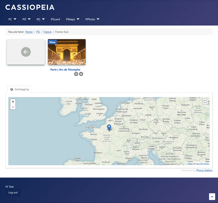
what map view are you talking about? The geo button below the individual images of a category or the map that can be displayed below the images in the category view. In any case, you need to set a geocoordinate marker to put France in the center of a map.
See image:

Kind regards,
Benno
Re: Affichage géolocalisation sur OpenStreetMap
Posted: 13 Jul 2023, 10:40
by alain_56
Hi Benno,
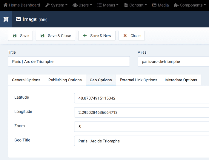
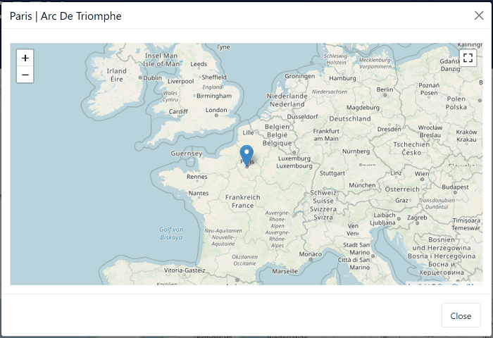
The geo button beneath an individual image in a category opens the map. I've set the geographic coordinates (latitude and longitude). How to write and where to place the marker to put France in the center of a map.
Alain
Re: Affichage géolocalisation sur OpenStreetMap
Posted: 13 Jul 2023, 11:28
by Benno
Hi,
see this example:


BTW: If you are using a camera that can store geo-coordinates, you can have the coordinates read from the EXIF information of each image. Then you only have to adjust the zoom factor manually.
Kind regards,
Benno
Re: Affichage géolocalisation sur OpenStreetMap
Posted: 13 Jul 2023, 14:53
by alain_56
Hi Benno,
Thank's
Alain
Re: Affichage géolocalisation sur OpenStreetMap
Posted: 13 Jul 2023, 15:22
by Benno
You're welcome!
Kind regards,
Benno


